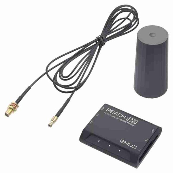
Description
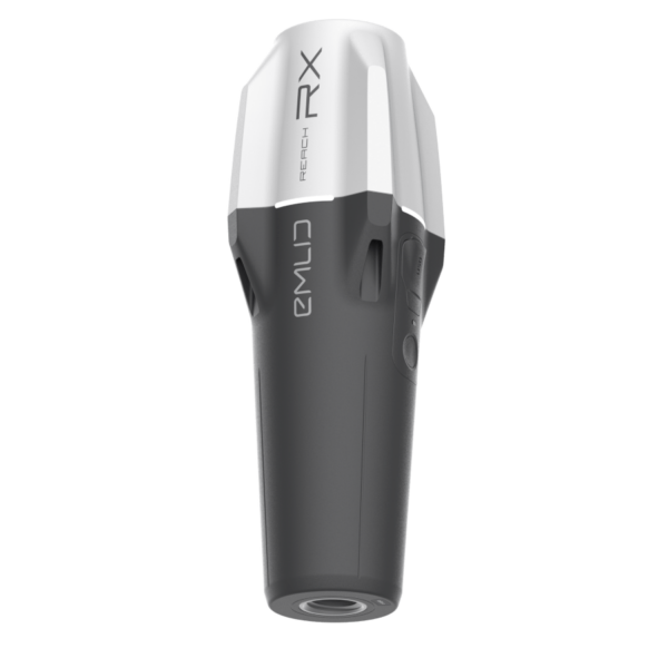
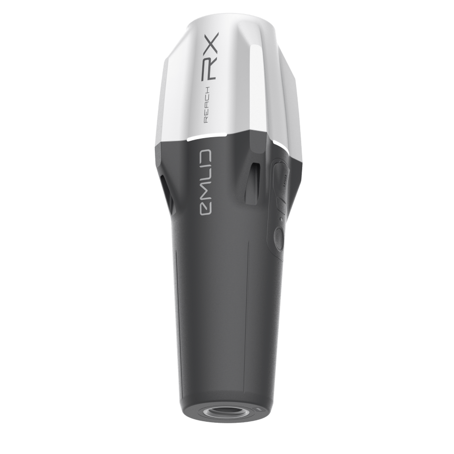
Emlid Reach RX
Emlid Reach RX is a lightweight, multi-band RTK GNSS receiver designed for professionals who need fast, reliable, and centimeter-accurate positioning—without the complexity. Weighing just 250 grams, the Reach RX is ultra-portable and fits easily into any work van or field kit, making it ideal for teams who need to collect or verify location data on the go.
With plug-and-play Bluetooth connectivity, the Reach RX pairs instantly with your smartphone or tablet using the Emlid Flow app. No configuration is needed—just power it on, connect, and start surveying. By streaming NMEA data and receiving NTRIP corrections, the RX delivers real-time accuracy for tasks like point collection, stakeout, and asset mapping.
Whether you’re marking utilities, logging potholes, or recording job site locations, the Reach RX empowers field crews to work independently—reducing the need to call in a surveyor multiple times during a project. It’s also compatible with popular third-party apps like ArcGIS Field Maps, QField, and FieldGenius, making it a flexible addition to any workflow.
Reach RX - RTK GNSS Receiver Emlid Features:
Centimeter-accurate RTK positioning with NTRIP corrections
Bluetooth connectivity – no cables or base station required
Compact & lightweight – only 250g
Works with Emlid Flow for easy surveying and data management
Streams standard NMEA data – compatible with third-party GIS apps
Long battery life – up to 16 hours of field use
Rugged and weather-resistant for tough environments
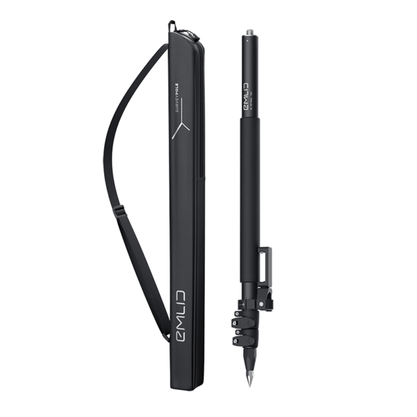
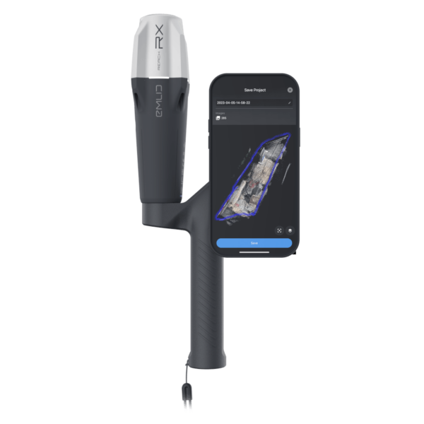
Surveying with Emlid Reach RX and Emlid Flow
- Bluetooth Connection
Connect the Reach RX to your smartphone or tablet via Bluetooth—no cables or configuration needed. - NTRIP Corrections
Enter your NTRIP credentials in Emlid Flow to receive real-time correction data for centimeter-level accuracy. - Point Collection
Use the app to collect precise survey points with custom attributes like codes, descriptions, and photos - Stakeout
Navigate to predefined coordinates or design points using real-time guidance in the app. - Project Management
Organize your data into projects with layers, custom fields, and coordinate systems. - Data Export
Export your survey data in formats like CSV, DXF, or Shapefile for use in CAD, GIS, or mapping software.
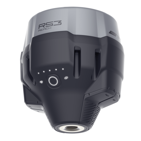
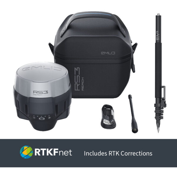
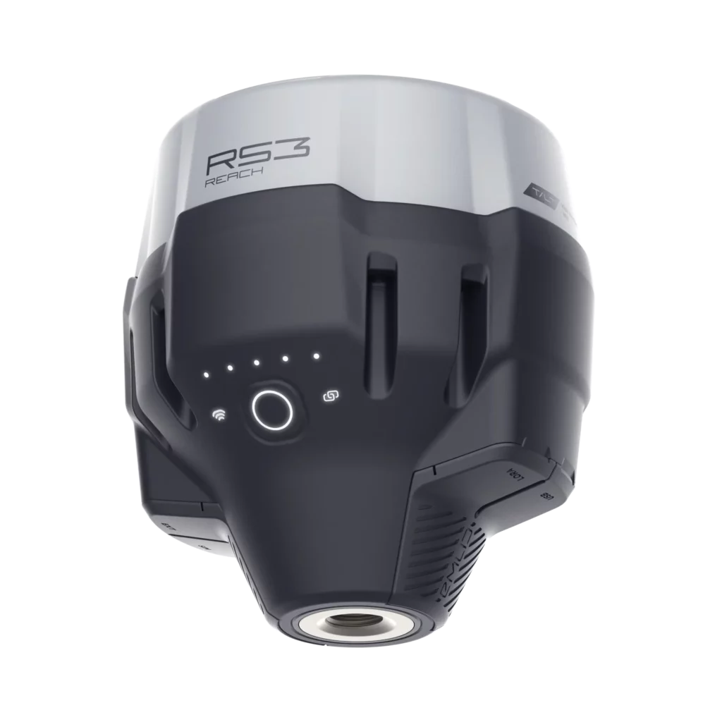
How to Set Up Reach RS3 as a Base for Reach RX
Position the RS3 Base Station
Mount the Reach RS3—ideally over a known point—for optimal accuracy.Enable Base Mode in Emlid Flow
Open the Emlid Flow app and configure Base Mode with your desired correction format and coordinates.Set Up Correction Output
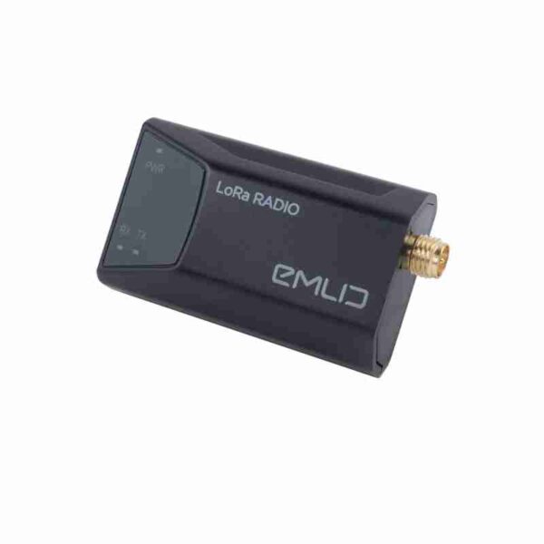
Choose how to broadcast corrections (e.g., via Emlid Caster or LoRa) and activate the output.Connect the Reach RX Rover
Power on the Reach RX, connect via Bluetooth in Emlid Flow, and input NTRIP credentials to receive corrections.Begin Surveying
Start collecting or staking out points with centimeter-level accuracy using Emlid Flow.
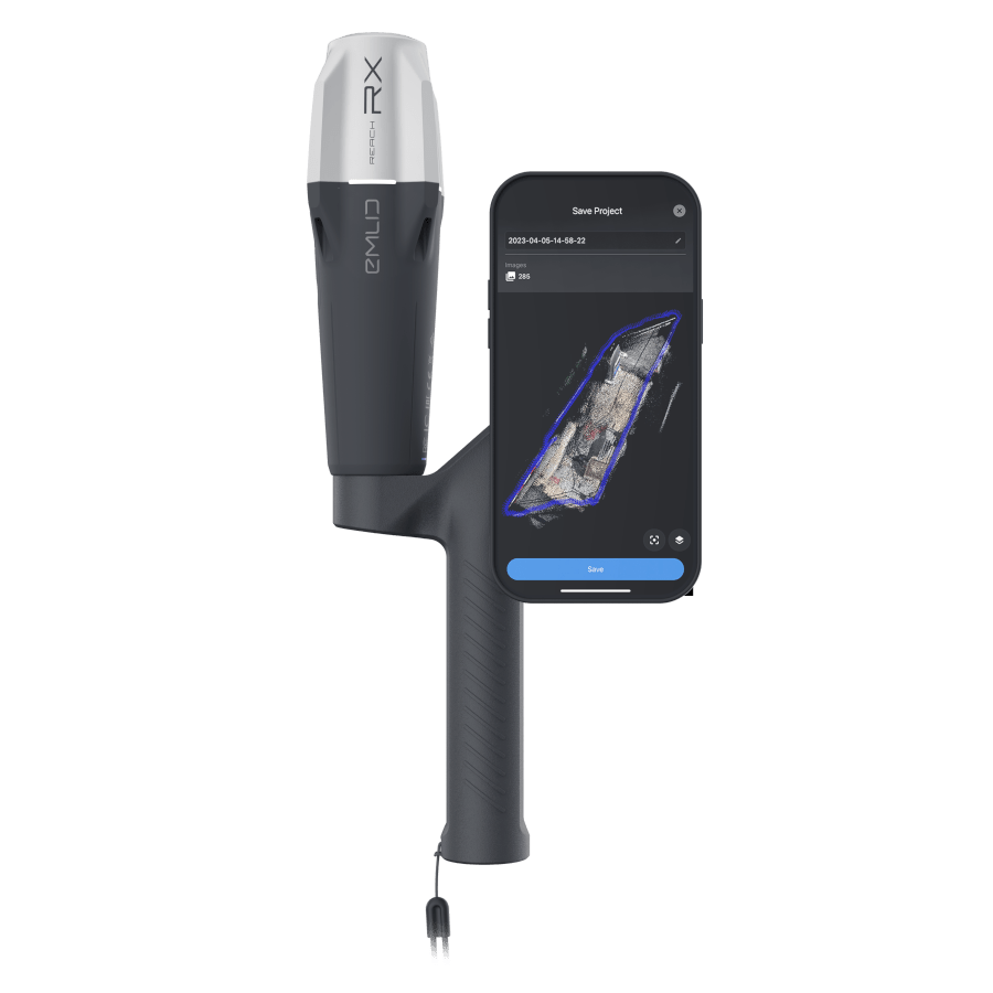
Enhance Mobile 3D Scanning with Reach RX and PIX4Dcatch
Real-Time GNSS Accuracy
Reach RX provides centimeter-level positioning via RTK corrections, enhancing the geolocation accuracy of mobile 3D scans in PIX4Dcatch.
Bluetooth Connectivity
Connects wirelessly to your smartphone or tablet, allowing seamless integration with PIX4Dcatch without extra cables or setup.
NTRIP Correction Support
Streams corrections from an NTRIP caster to ensure precise geotagging of each image captured during the scan.
Plug-and-Play Workflow
Once connected, PIX4Dcatch automatically uses Reach RX’s GNSS data for accurate image positioning—no manual configuration needed.
Improved 3D Model Accuracy
With precise GNSS input, the resulting 3D models and point clouds are more accurate and reliable for surveying, inspection, and mapping tasks.