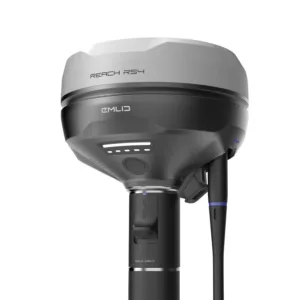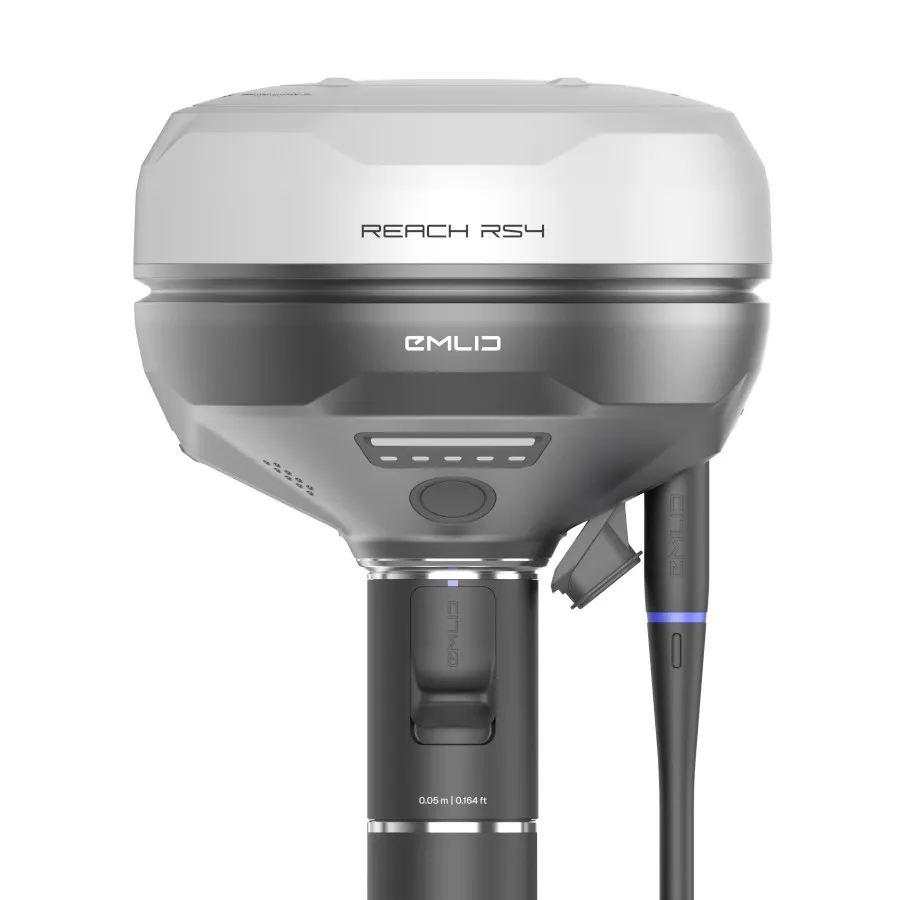


Emlid Reach RS4 RTK GNSS Receiver | Survey-Grade GPS for Accurate Fieldwork
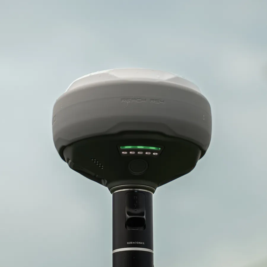
The Emlid Reach RS4 is a high-performance RTK GNSS receiver designed for surveyors, engineers, and geospatial professionals who require fast, reliable centimetre-level positioning in real-world conditions.
As an authorised UK Emlid dealer since 2018, Innovelec supplies the Reach RS4 with expert support, fast UK delivery, and practical guidance to help you get the most from your equipment.
With all-band GNSS tracking, advanced tilt compensation, and dual radio connectivity, the RS4 delivers consistent accuracy and dependable performance across surveying, construction, GIS, and mapping applications.
✅ Centimetre-level RTK accuracy
✅ All-band GNSS support (L1–L6 frequencies)
✅ Tilt compensation for faster measurements
✅ Ideal RTK GNSS receiver for surveying, construction, GIS, and utilities
What Makes the Reach RS4 Different
The Reach RS4 is designed to maintain high performance in challenging environments such as urban areas and under canopy.
It combines:
- All-band GNSS tracking for stronger signal reception
- Faster IMU-based tilt compensation
- Dual LoRa and UHF radio communication
This results in:
- Faster RTK fixes
- More stable positioning
- Reduced downtime
- Greater productivity on site
Key Features
All-Band RTK GNSS Receiver
Tracks multiple satellite constellations and frequencies for improved accuracy and reliability in real-world surveying environments.
Next-Generation Tilt Compensation
Measure points without levelling the pole, allowing faster data collection and more efficient RTK workflows.
Dual Radio Connectivity (LoRa + UHF)
Flexible communication options for base and rover setups across surveying and construction applications.
Fast Initialisation
Quick start-up and rapid RTK convergence reduce waiting time in the field.
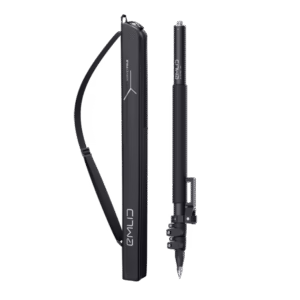
Rugged Survey-Ready Design
Durable, weather-resistant construction designed for demanding site conditions and outdoor environments.
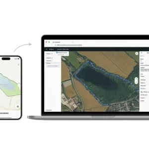
Seamless Software Integration
Works with Emlid Flow and industry-standard survey software for efficient mapping, stakeout, and data collection.
Who Is the Reach RS4 For?
The Reach RS4 is designed for professionals who need reliable survey-grade GNSS positioning without unnecessary complexity.
It is particularly suited to:
- Land surveyors carrying out topographic and boundary surveys
- Construction teams performing site layout and setting out
- Utilities and infrastructure engineers mapping assets and networks
- GIS professionals collecting accurate geospatial data
- Teams upgrading from older RTK GPS or GNSS equipment
How the Reach RS4 Improves Field Workflows
The Reach RS4 helps survey teams work faster and more efficiently in the field.
In practical terms, this means:
- Less time waiting for RTK fixes
- Faster data collection using tilt compensation
- Fewer re-measurements due to unstable positioning
- Simpler setup with flexible base and rover configurations
This makes it a practical choice for RTK GNSS surveying workflows where reliability and speed are critical.
Typical Applications for the Reach RS4
Construction and Site Layout
Accurately set out points and layouts on-site with consistent RTK GNSS positioning, even in complex environments.
Land Surveying
Carry out topographic, control, and boundary surveys with reliable centimetre-level accuracy.
Utilities and Infrastructure
Map services and assets in areas with signal obstruction such as roads, buildings, and underground networks.
GIS and Mapping
Collect high-accuracy geospatial data for mapping, planning, and environmental analysis.
From Reach RS3 to RS4: What Has Improved?
The Reach RS4 introduces key upgrades over the RS3:
- All-band GNSS tracking for better signal performance
- Faster and more stable tilt compensation
- Improved radio communication capabilities
- Enhanced performance in challenging environments
These improvements deliver more reliable results and faster workflows in the field.
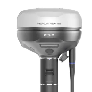
Emlid Reach RS4 vs Reach RS4 Pro
To help you choose the right GNSS receiver for your workflow, here’s how the RS4 compares to the RS4 Pro:
Quick Comparison
| Feature | Reach RS4 | Reach RS4 Pro |
|---|---|---|
| GNSS | All-band RTK | All-band RTK |
| Cameras | No | Dual cameras |
| Visual stakeout | No | Yes |
| Remote point capture | No | Yes |
| Best for | Standard surveying workflows | Complex or restricted sites |
When the Reach RS4 May Not Be the Right Choice
The RS4 may not be the best fit if your workflow requires:
- Measuring inaccessible points remotely
- Visual stakeout using camera guidance
- Advanced AR-based surveying workflows
In these cases, the RS4 Pro may be a better option.
Is the Reach RS4 Worth It?
So how does the Reach RS4 perform in terms of overall value?
For most surveying and construction workflows, it offers an excellent balance of performance and cost.
It provides:
- Reliable centimetre-level RTK GNSS accuracy
- Fast setup and easy operation
- Strong performance across real-world environments
For professionals needing dependable GNSS survey equipment without advanced workflow complexity, the RS4 is a practical and cost-effective choice.
Why Buy from Innovelec?
Innovelec is an authorised UK supplier supporting surveying and geospatial professionals since 2018.
We provide more than just equipment — we help ensure it works in the field.
- UK-based stock for fast delivery
- Direct manufacturer relationship
- Support from experienced professionals
- Trusted by construction, utilities, and geospatial sectors
Explore RTK GNSS Solutions
Looking to learn more about RTK GNSS systems and surveying equipment?
- Compare GNSS receivers for different applications
- Understand how RTK improves accuracy
- Discover the right survey equipment for your workflow
FAQs
Is the Reach RS4 compatible with UK NTRIP networks?
Yes, it works with UK RTK correction services subject to access and coverage.
Does the Reach RS4 work with Emlid Flow?
Yes, it integrates with Emlid Flow for survey, stakeout, and data collection.
What accuracy can I expect?
Centimetre-level positioning accuracy with RTK corrections.
Is UK warranty and support included?
Yes, when purchased through an authorised UK dealer.