Description
Compact, multi-band RTK GNSS receiver
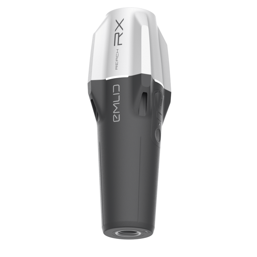
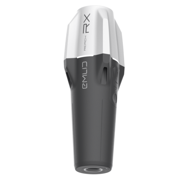
Emlid Reach RX is a compact, multi-band RTK GNSS receiver designed for professionals who need high-precision positioning in a compact and easy-to-use form. With centimeter-level accuracy and instant Bluetooth connectivity, it pairs seamlessly with your smartphone or tablet, making it ideal for surveying, mapping, and GIS applications.
The Reach RX requires no configuration—just connect and start collecting data. Its rugged, weather-resistant design ensures reliable performance in the field, while its long battery life supports extended workdays without interruption. Whether you’re a seasoned surveyor or a GIS technician, the Reach RX delivers powerful performance in the palm of your hand.
The Reach RX requires an NTRIP correction stream to achieve centimeter-level accuracy.
Weighing just 250 grams, the Reach RX is ultra-portable. Perfect for fieldwork without the bulk.

Easy
Power On & Connect
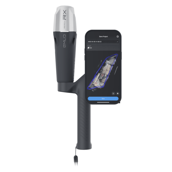
Turn on the Reach RX and connect it to your smartphone via Bluetooth using the Emlid Flow app.
Stream Corrections via NTRIP
Enter your NTRIP credentials in the app to start receiving real-time corrections.
Start Surveying
Begin collecting centimeter-accurate data instantly—no setup or configuration required.
The Emlid Reach RX is a low-cost, pocket-sized GNSS receiver that fits easily in every work van—ready for any crew member to grab and go. Instead of calling in a surveyor multiple times, workers can quickly check locations, mark job sites, or log issues like potholes with centimeter-level accuracy. It’s the perfect tool for teams who need reliable positioning without the complexity or cost of traditional survey gear.
High-precision mapping with Reach RX
iOS & Android
Surveying Made Simple Reach RX and Emlid Flow
Emlid Flow is a mobile and web app that enables easy control of Emlid GNSS receivers for surveying, mapping, and data collection with real-time accuracy.
- Data collection and stakeout
- Verified coordinate systems library
- SHP, DXF, CSV, and KML
- Inverse & Traverse
- Survey codes
- Localization
- Auto collection
Third-Party App Compatible
Reach RX uses Bluetooth and integrates
with surveying apps as a GPS receiver.
GIS & Mapping Apps
ArcGIS Field Maps (iOS & Android)
ArcGIS Survey123 (iOS & Android)
ArcGIS QuickCapture
Mergin Maps (Android)
QField (Android)
Avenza Maps (Android)
Surveying & Data Collection
MicroSurvey FieldGenius (Android & Windows)
Global Mapper Mobile
PointMan
SitePlan.at
Geolantis
TcpGPS by Aplitop
Apglos Survey Wizard
Drone & Photogrammetry
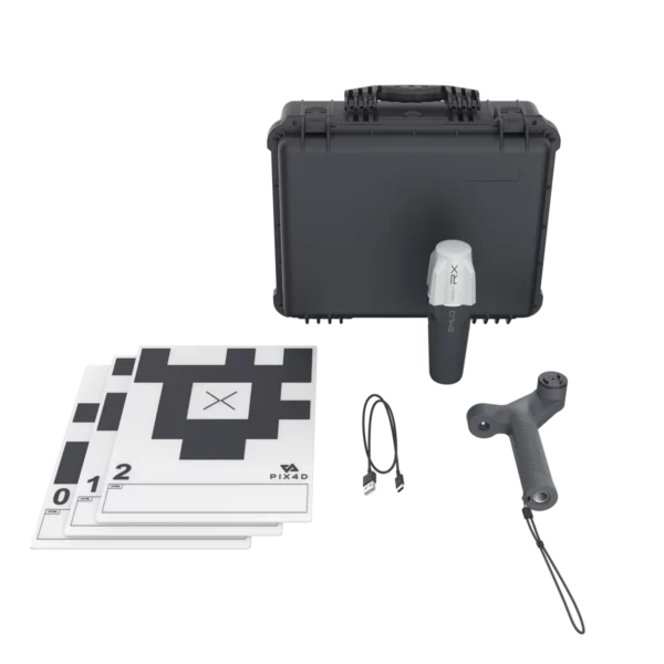
Pix4D Catch
3DSurvey
Vaira
Robust by design
IP68
Withstands -20 to +65ºC
Reach RX works in the coldest winters and hottest summers.
16 hours on one charge
2 days of work in less than 3 hours of charge. It can be charged from any USB port or power bank.
Waterproof
The Reach RX is well protected from water and dust with an IP68 rating and silicone plugs.


Reviews
There are no reviews yet.