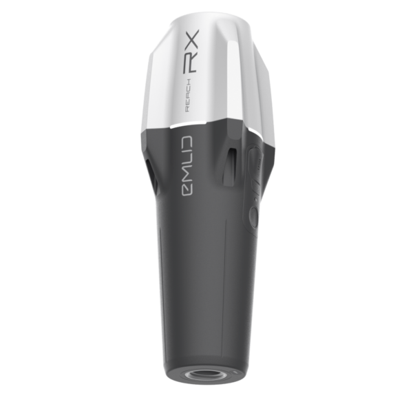
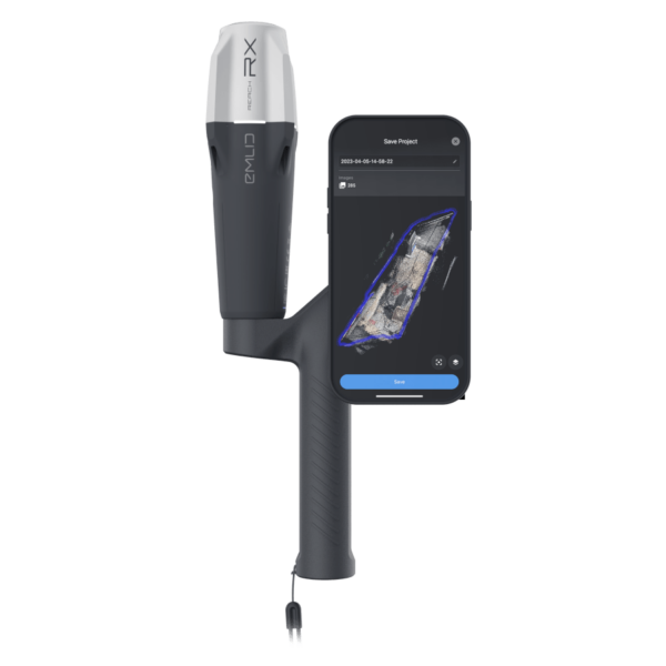
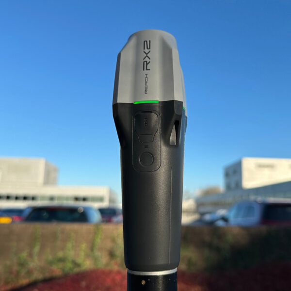
Description
Emlid Reach RX2
Compact, All-band RTK GNSS Rover with Tilt Compensation
Reach RX2 delivers rapid, reliable mapping in every environment.
Engineered for reliable data acquisition and streamlined layout design
Every Reach RX2 includes Emlid Flow, a powerful, easy-to-use mobile app for iOS and Android that streamlines fieldwork across industries like construction, utilities, GIS, and landscaping.
Real-time cloud syncing keeps your office team aligned with the latest field updates.
Designed to work with Esri and other industry-standard GIS apps
Seamlessly integrate high-precision GPS data into your existing workflow. Ideal for local and state governments, urban development, digital twin projects, water resource management, environmental conservation, and much more.
With Apple MFi certification, the RX2 connects reliably and natively to iPhones and iPads, while also offering smooth compatibility with Android devices.
The RX2 works effortlessly with leading data collection apps like ArcGIS Field Maps, QField, Survey123, Mergin Maps, and many others.
Reliable terrestrial data capture with centimeter-level precision
Unlock high-accuracy terrestrial scanning with the RX2. Simply mount it on a handle and pair it with a compatible scanning app like PIX4Dcatch to start capturing.
Generate detailed 3D models of vertical surfaces and hard-to-access areas—ideal for utility mapping, volume measurements, and as-built documentation.
Exceptional GNSS accuracy, even beneath trees or in rugged terrain
The RX2 tracks all major global navigation satellite systems—including GPS, GLONASS, Galileo, BeiDou, QZSS, and NavIC—across all carrier frequencies. This ensures fast, stable, and accurate performance, even in challenging environments like dense tree cover or urban canyons.
Engineered for performance wherever your work takes you
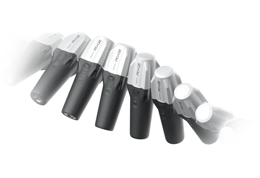
Compact and lightweight
Weighing just 280g, the RX2 is small enough to slip into your pocket or glove box.
Delivers up to 18 hours of uninterrupted use
It runs for two full workdays and charges easily via USB-C.
Weather-resistant
Rain, snow, or sunshine—no matter the conditions, the RX2 performs without compromise.
Built for collaboration—scales effortlessly across multiple users and projects
Built for teams, ready out of the box.
The RX2 is designed with collaboration in mind. It’s simple to set up and easy to use—no training sessions or thick manuals required. Anyone on your team can start collecting accurate data right away.
With Emlid Flow, your entire team stays connected through real-time field-to-office data sharing, progress tracking, and built-in collaboration tools. Spot issues early, stay aligned, and keep your projects moving forward—efficiently and cost-effectively.
Specification
Mechanical
- Dimensions172 x 51 x 51 mm
(6.77 x 2.00 x 2.00 in) - Mount5/8”-11 UNC and quick release
- Weight280 g (0.62 lb)
- Operating tº-20 to +65 ºC (-4 a 149 °F)
- Ingress protectionIP68 (maximum
depth of 1.5 meters
up to 30 minutes)
Electrical
- AutonomyUp to 16 hrs
- BatteryLi-Ion 7000 mAh,
3.6V, 25.2 Wh - ChargingUSB Type-C, 5V 2A
- CertificationFCC, CE, IC, MFi
Positioning
- RTKH: 7 mm + 1 ppm
V: 14 mm + 1 ppm - TiltRTK + 2 mm + 0.3 mm/°
- Convergence time~5 s typically
Connectivity
- Communication interfaceBluetooth 4.2
(BR/EDR + LE) - PortsUSB Type-C
Data
- Input data formatRTCM3
- Input data protocolNTRIP
- Position data formatNMEA
GNSS
- Signal trackedGPS: L1C/A, L2C, L5,
GLONASS: L1OF, L2OF,
Galileo: E1-B/C, E5a, E6,
BeiDou: B1I, B1C, B2a, B3I,
QZSS: L1C/A, L1C/B11, L2C, L5,
NavIC: L1-SPS Data, L5-SPS - Number of channels672
- Update rate5 Hz


