Experience seamless, professional-grade 3D scanning with the Emlid Pix4D Scanning Kit.
An all-in-...
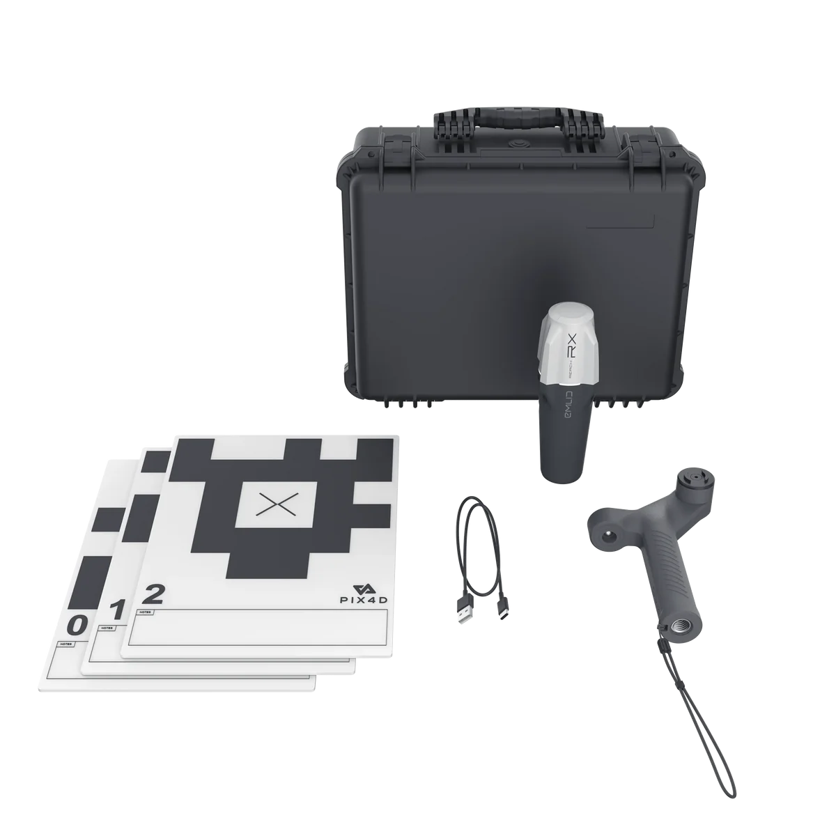
Pix4D & Emlid Scanning Kit
High Precision 3D Scanning Solution.
Available as Emlid Hardwar...
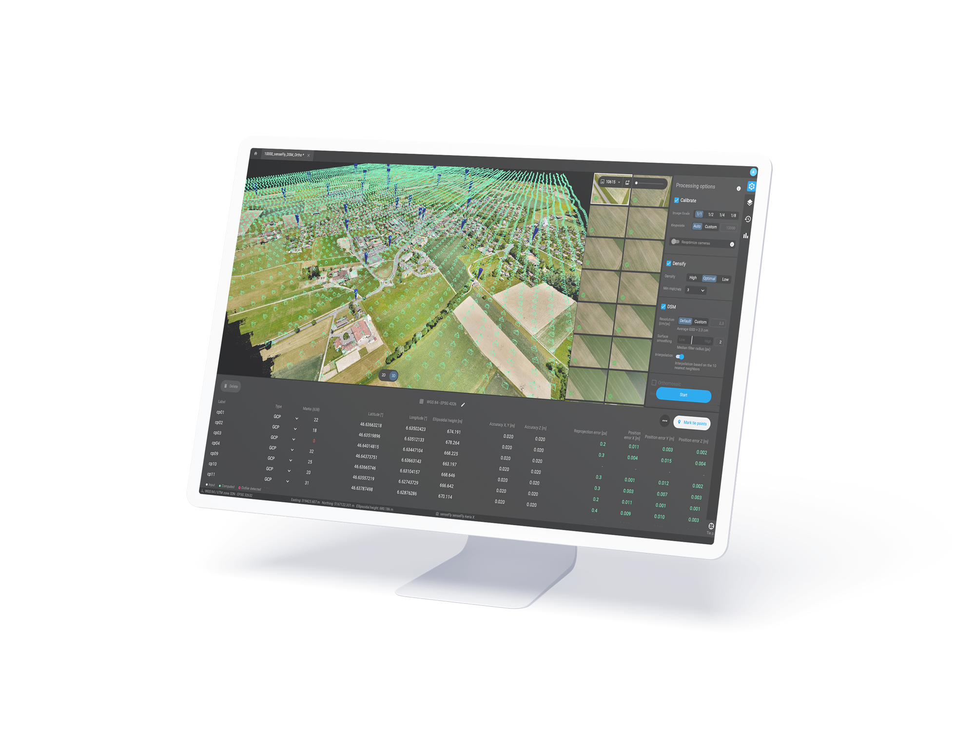
Next generation photogrammetry software for professional drone and terrestrial mapping
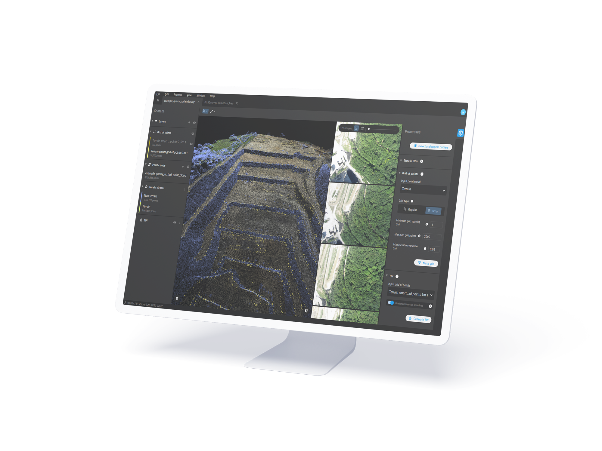
PIX4Dsurvey is a standalone software developed to bridge the gap between photogrammetry and CAD.
Next generation photogrammetry software for professional drone and terrestrial mapping
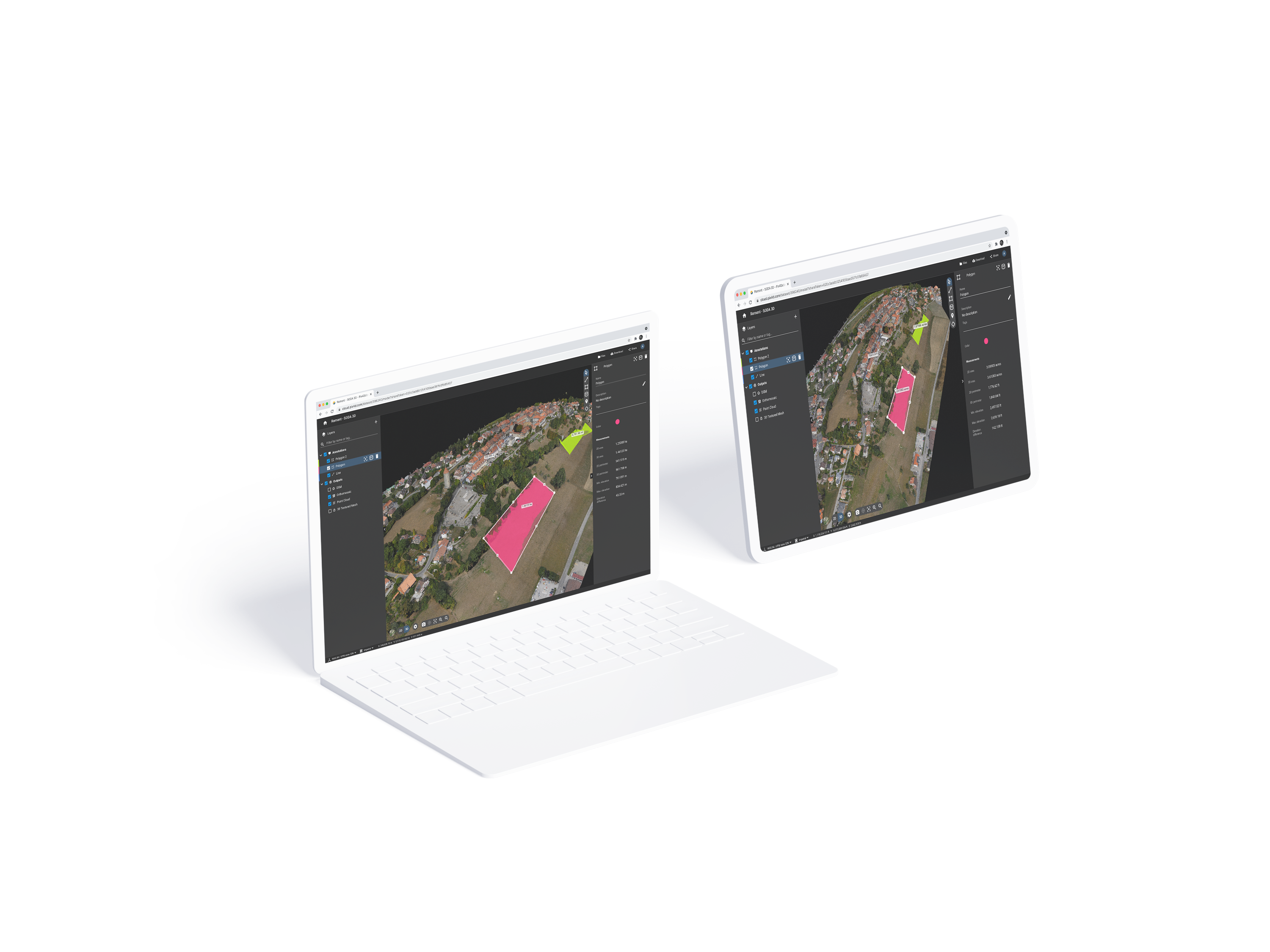
The power of Pix4D on the cloud.
The online platform for drone and ground mapping, site documenta...
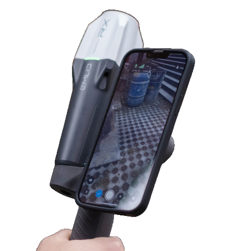
Precise 3D scans and AR
Pix4DCatch is <span class="qa-highlight">a mobile app for creating accurate 3D models and maps</span>....
Crash Scene Analysis and Accident Mapping with PIX4Dcatch and PIX4Dmatic
When a road traffic collision occurs, the immediate priority for...
Read More
Reality Reimagined: Turning Real-World Data into Digital Models with PIX4D
Reality Reimagined: How PIX4D Is Transforming Real-World Data into Digital...
Read MoreMeet us at GEO Business 4 – 5 June 2025
Technology on show at Geo Business 2025 Emlid RTK/PPK GNSS...
Read More